Monarch’s Way ride – Tuesday update from Mr Roche
On Tuesday Mr Roche sent the following message to the school.
Yesterday we cycled from Wincanton to Salisbury. What we have learned is that not a lot happened to Charles II on this leg of his journey and we are pleased to say that not a lot happened to us either: no breakdowns or tyre punctures, just lots of rain and mud! Mr Mead got quite wet and at the end of the day was covered in mud (see picture at the bottom of this email), but we all made it it here through the rain. What is interesting is what caused King Charles to take this particular route, on horseback across open country, being chased by his enemies..
You will remember from our story yesterday that Charles II was fleeing from Oliver Cromwell’s parliamentarian army. He was trying to escape capture after the battle of Worcester; in doing so he tried to visit various ports along the south coast including Charmouth and Bridport in Dorset to try to make his escape. He had made this last attempts to flee to France earlier on in his journey. He was hiding at a place called Trent in Somerset and had to send his helpers ahead to try and secure a ship in which to sail away. Luckily for Charles there were no agents of his pursuer, Oliver Cromwell hiding in the towns and his passage was clear to proceed to the port.
However when he arrived, whilst he could see his ship moored out at sea, for some strange reason he couldn’t get on it. Was this a trap? Were Cromwell’s spies laying in wait? He waited and waited and waited, but still no boat came to collect him and take him out to his ship. It turns out that at Charles was not to be denied his passage by Cromwell’s men but rather by the stern-faced wife of the captain of the ship! She declared that “no husband of mine is going to risk his life taking the King to France”. To make sure she had locked the captain in his cabin to prevent him from collecting the monarch!
So poor old Charles had to make his way across the south of England, initially on our route of yesterday from Wincanton to Salisbury, via a little village called Hindon. So the next part of our journey from then until we see you on Friday will be from Hindon to Findon!
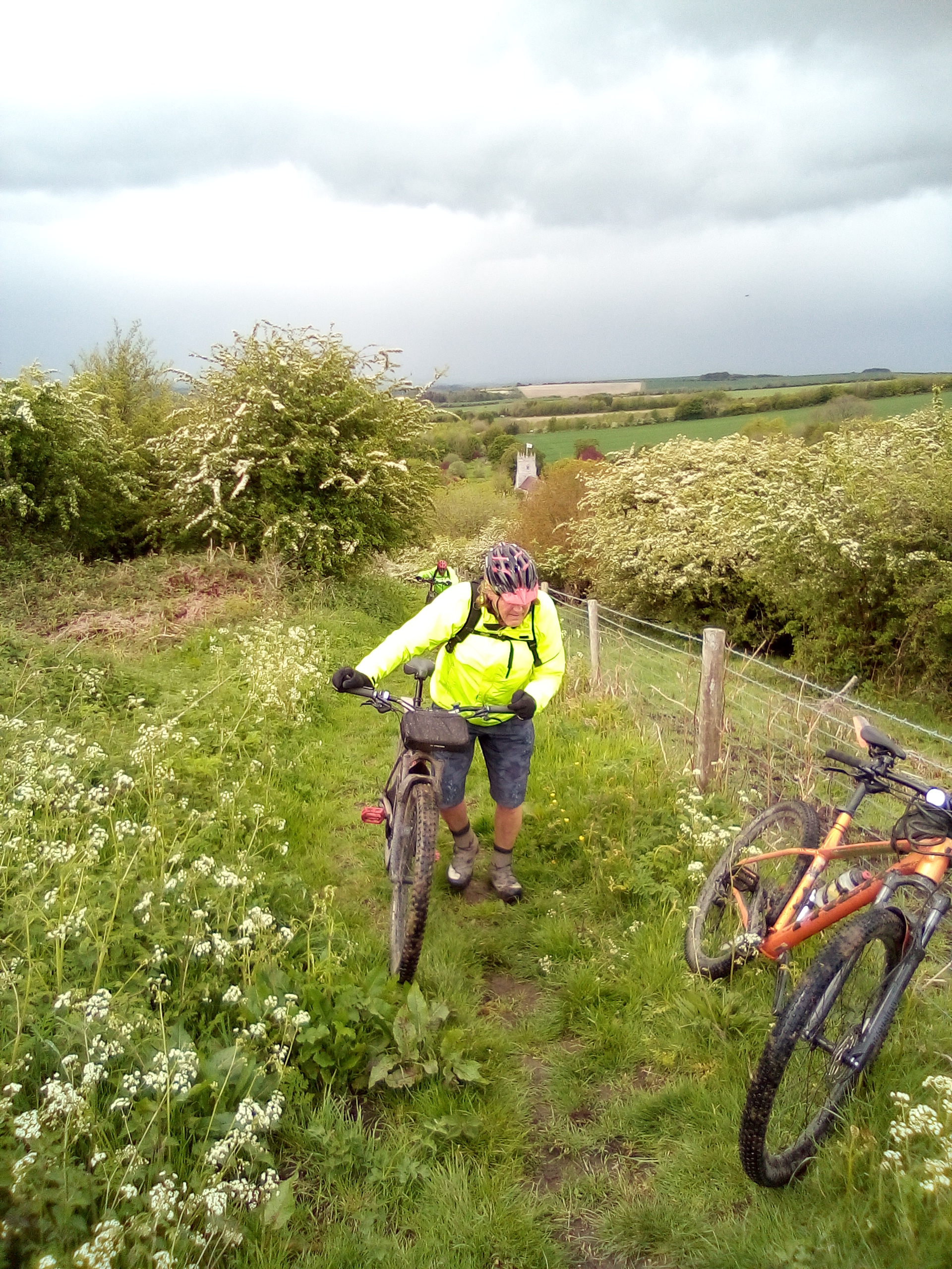
We have to question how King Charles II knew which route to take. There were no computers, Google internet or satellite maps in those days; no telephones or much means of communication. Any paper maps that existed were quite basic and Charles did not know the area. The answer to our question is that Charles was not alone. He had a lot of loyal, faithful friends who could go on ahead of him and check that Cromwell’s spies and his Army we’re not out looking out for him in the nearby countryside or lurking, waiting to capture him in the towns. These friends got the help of of local people who were loyal to the King to guide the King’s party secretly to their destination, often hiding in churches like the one shown behind Mr. Mead in the picture at the bottom of this email, even today this church is still loyally flying the flag of St. George of England. Like Mr. Mead, Charles would have been glad to come upon a church: typically, these are usually sited at the top of hills meaning that the climb is over for a while and a whizz downhill is soon to follow.